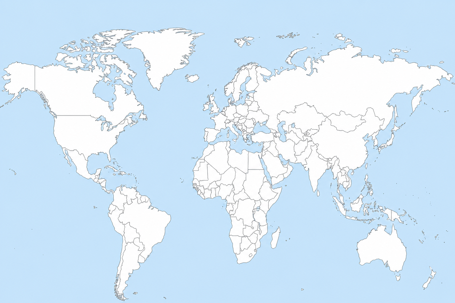
Blank World Map (Printable PDF + Free Tool)
Download a blank world map printable PDF or use a free tool to color and customize countries online.
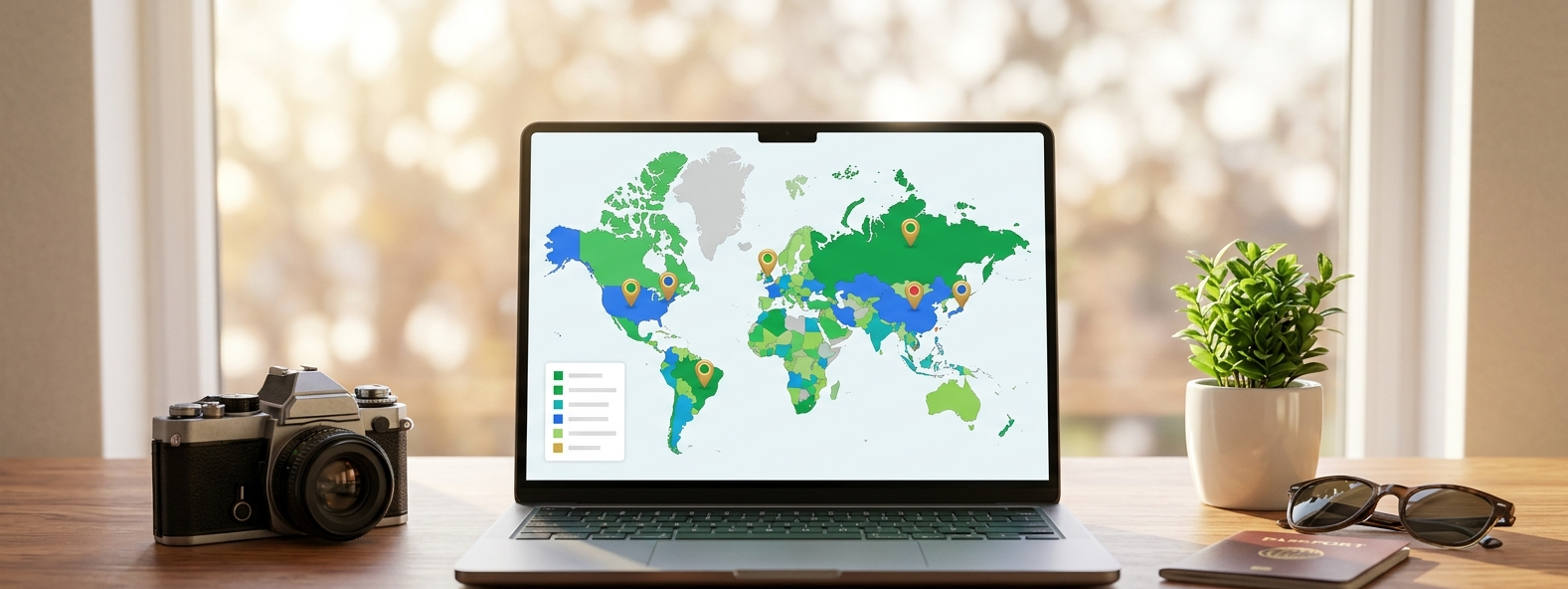
How to Create a Custom Interactive World Map for Free
Static maps are a thing of the past. Whether you are illustrating global sales, tracking your travel history,
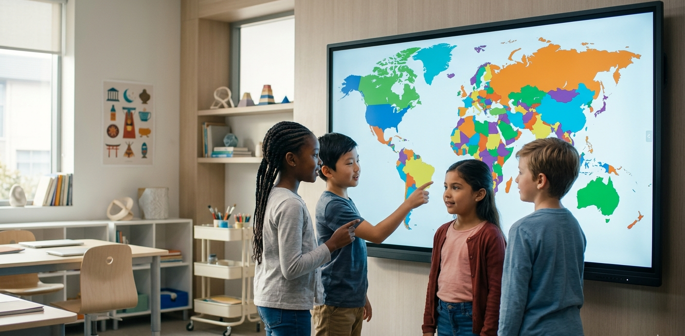
Interactive World Maps for Teachers: Enhancing Classroom Geography
Geography is more than just memorizing borders; it is about understanding the world.
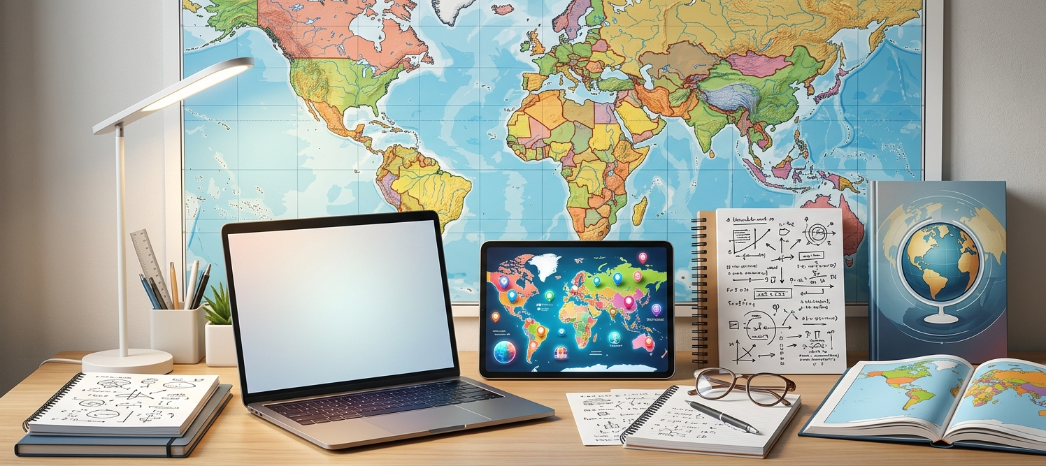
Mastering Geography for UPSC: How to Use Interactive Maps for Notes
For a UPSC aspirant, a map is not just a drawing; it’s a high-yield data sheet.
Best Interactive World Map for Travel Bloggers (2026)
As a travel blogger, your content is visual. While photos tell the story of a place,...
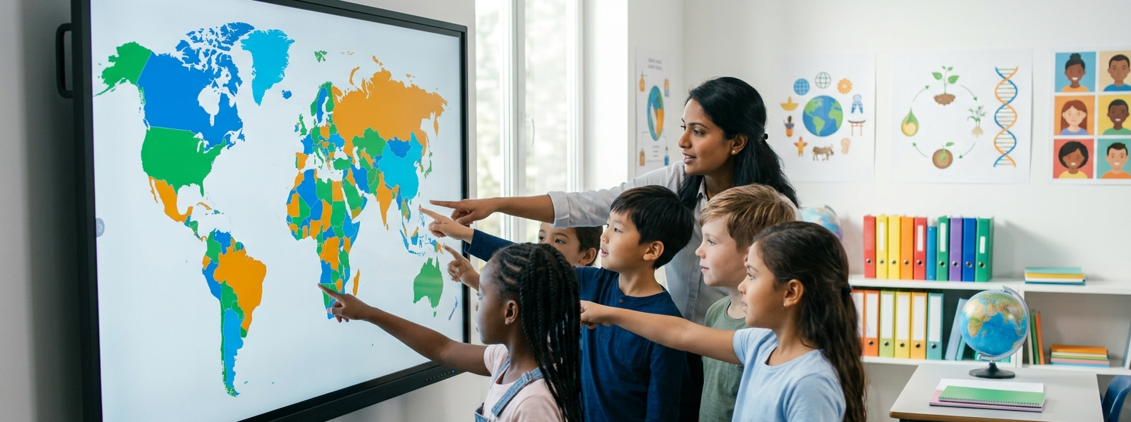
Interactive World Maps: The Future of Geography in the Classroom
Gone are the days of dusty pull-down maps. In today's digital-first classrooms,..
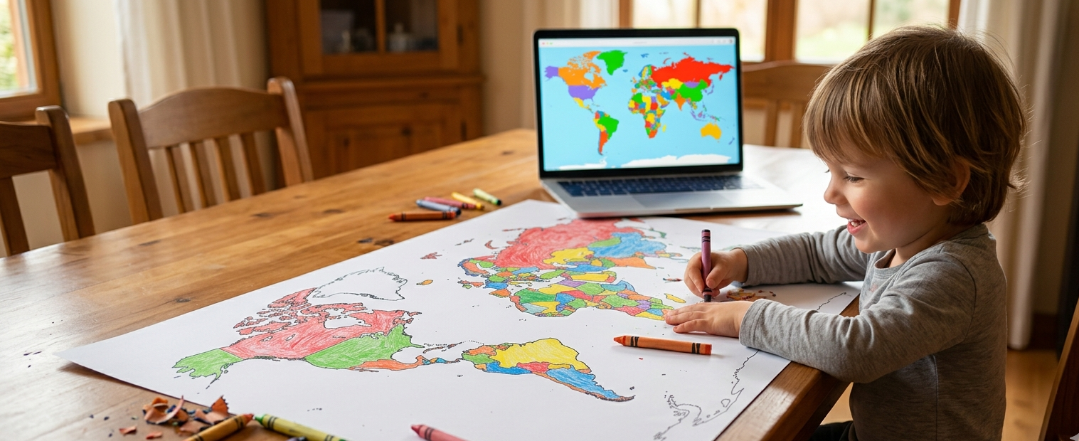
World Map Coloring: A Creative Journey for Young Explorers
Coloring is more than just a quiet activity—it is a child's first step into geography..
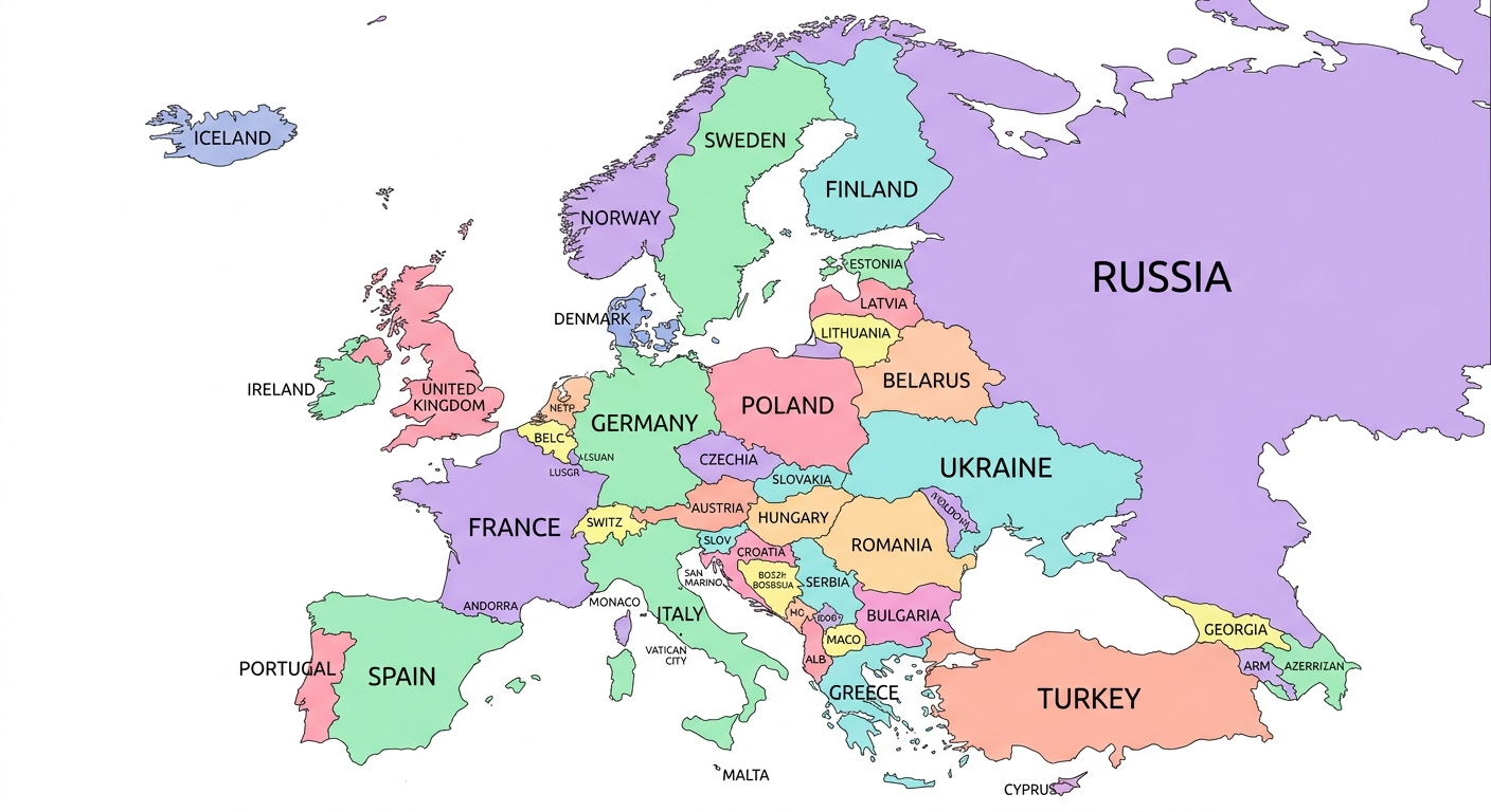
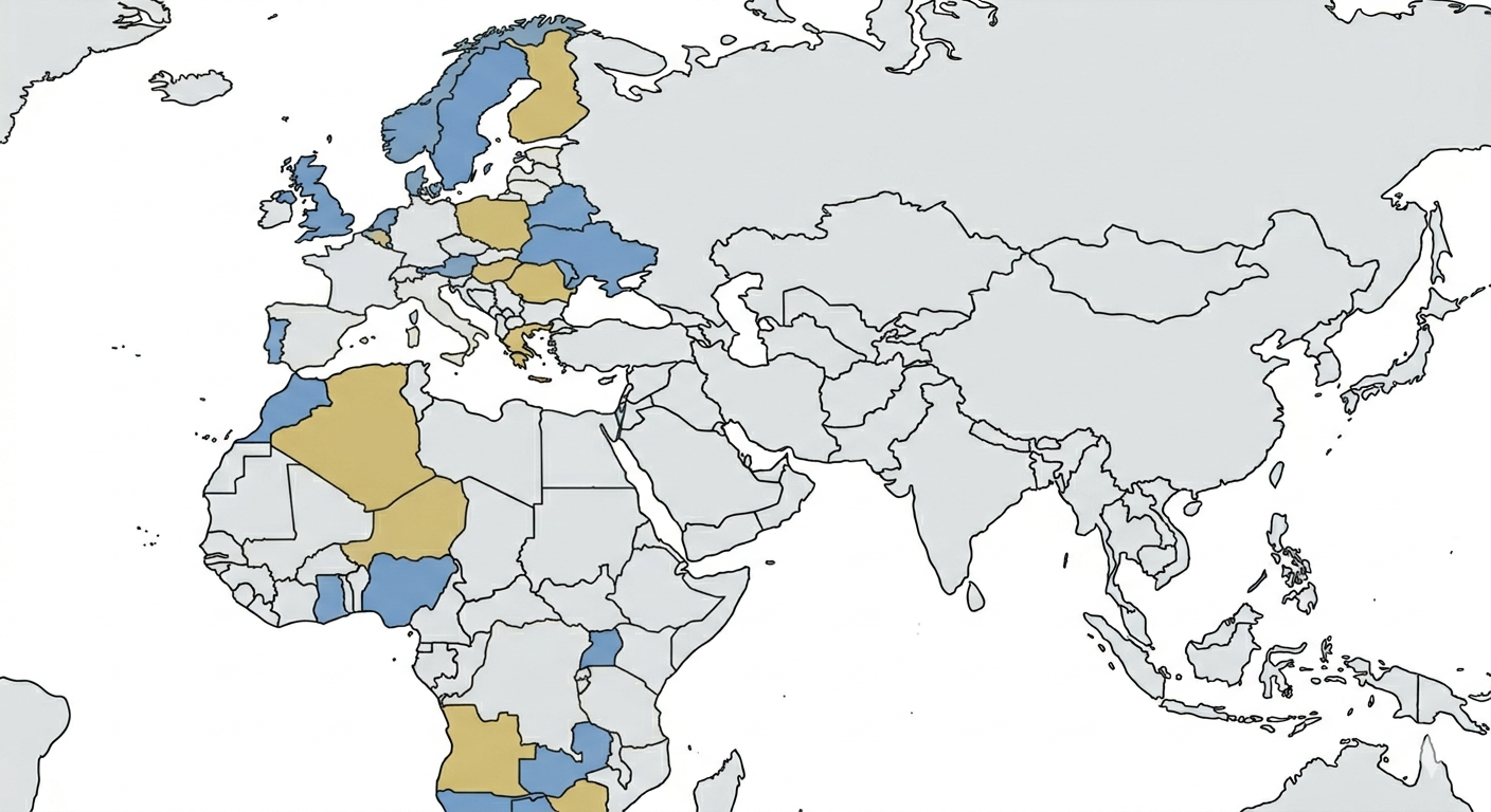
Europe Map with Countries: Mastering Continental Visualization
Europe is a continent defined by its density of history and diversity of borders....
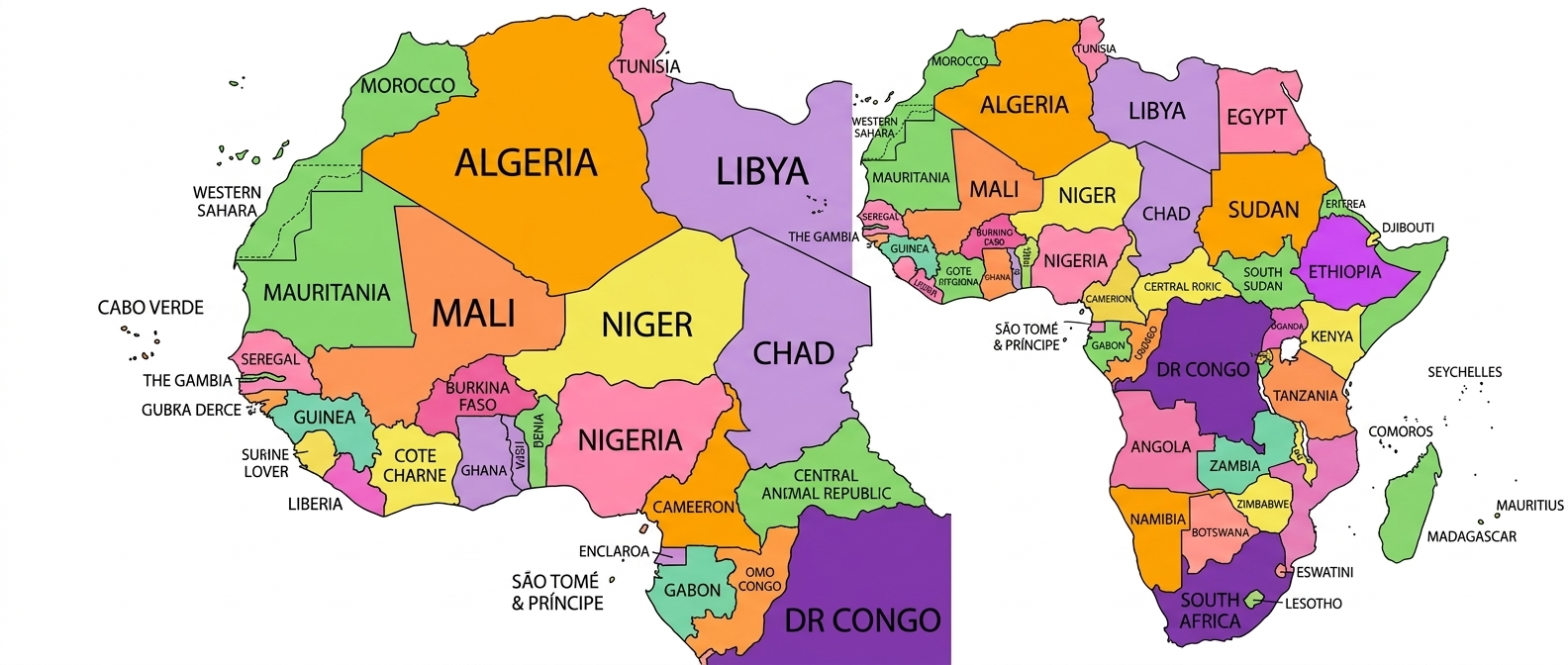
Africa Map with Countries: A Deep Dive into the Future Continent
Africa is a continent of immense scale, containing 54 sovereign nations and ...
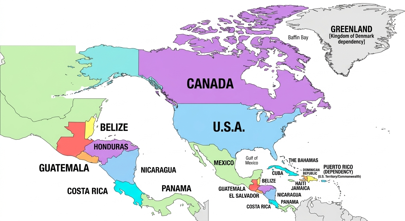
North America Map: Navigating from the Arctic to the Isthmus
North America is more than just three large countries. Our interactive North ...
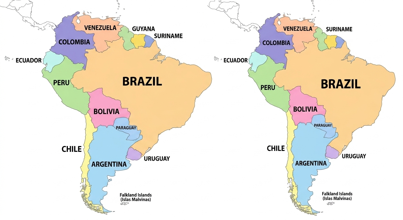
South America Map: Visualizing the Southern Continent
From the Andes to the Amazon, South America is a region of stunning geographic contrasts...
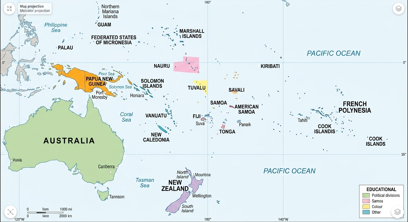
Oceania Map: Navigating the Pacific Frontier
Oceania is a unique region defined by the sea. Our interactive Oceania map helps you...
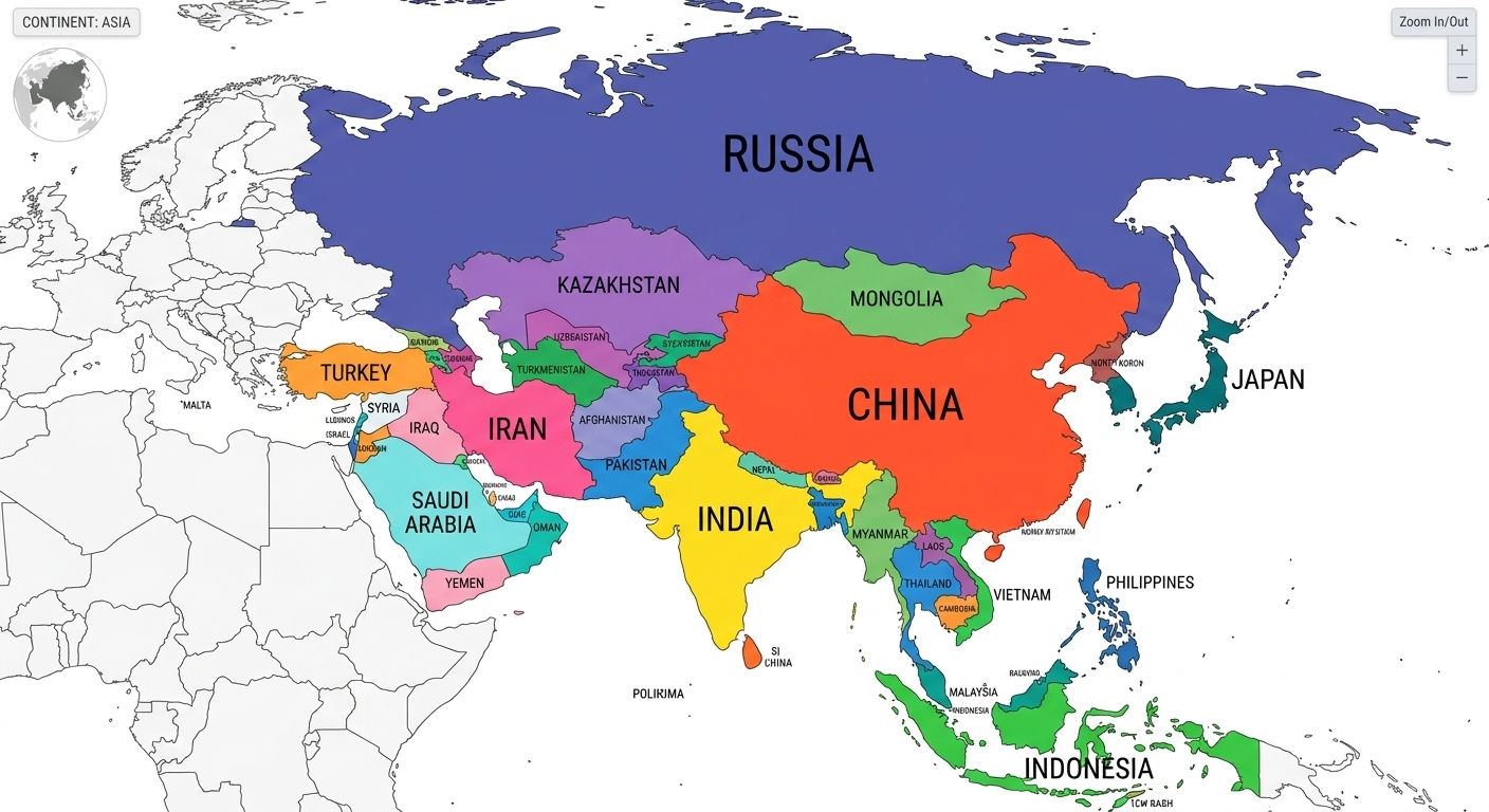
Asia Map with Countries: Navigating the Giant of Geography
.As the largest and most populous continent, Asia presents a unique challenge for...
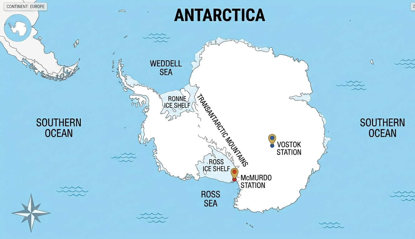
Antarctica Map: Visualizing the Ice Continent
Antarctica is the only continent without a native human population or ....
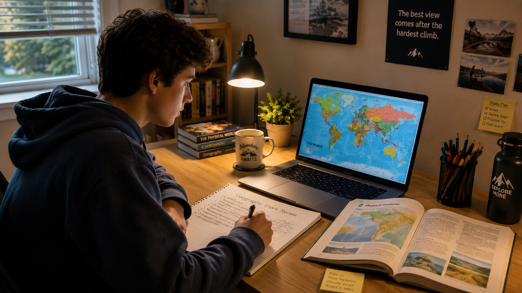
World Map for Students: Mastering Geography Through Interaction
Geography exams don't have to be a struggle of memorization. By using ...
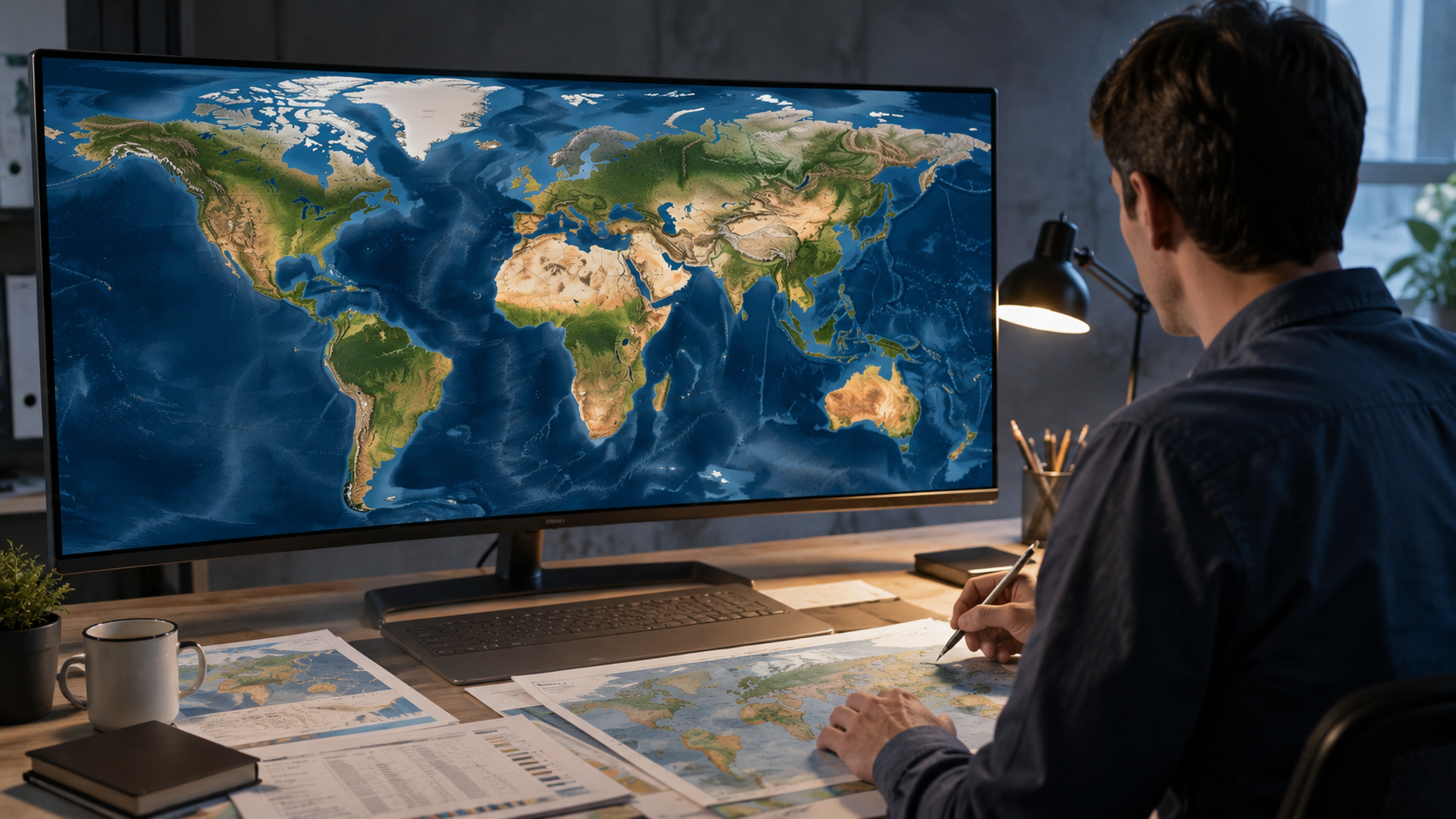
Professional Quality: Creating High-Resolution Maps for Your Projects
Whether you are drafting a business proposal or a scientific paper, a ....
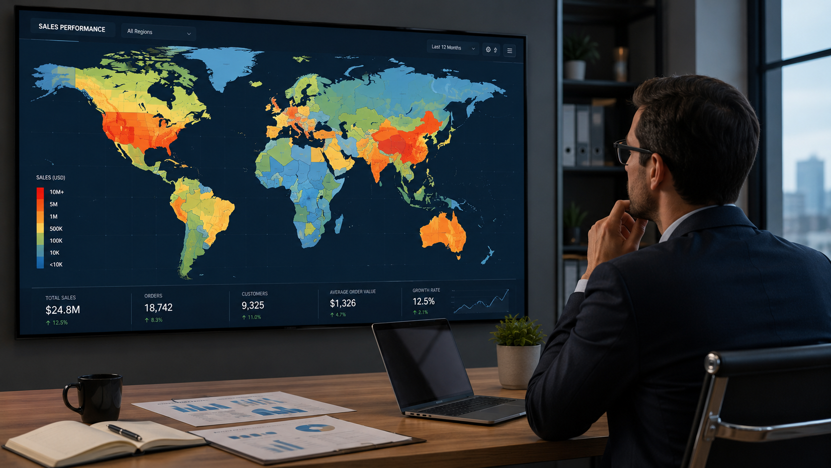
The Power of Place: How Map Visualization Drives Business Decisions
In 2026, data is everywhere, but insight is rare. By using geographic data ..
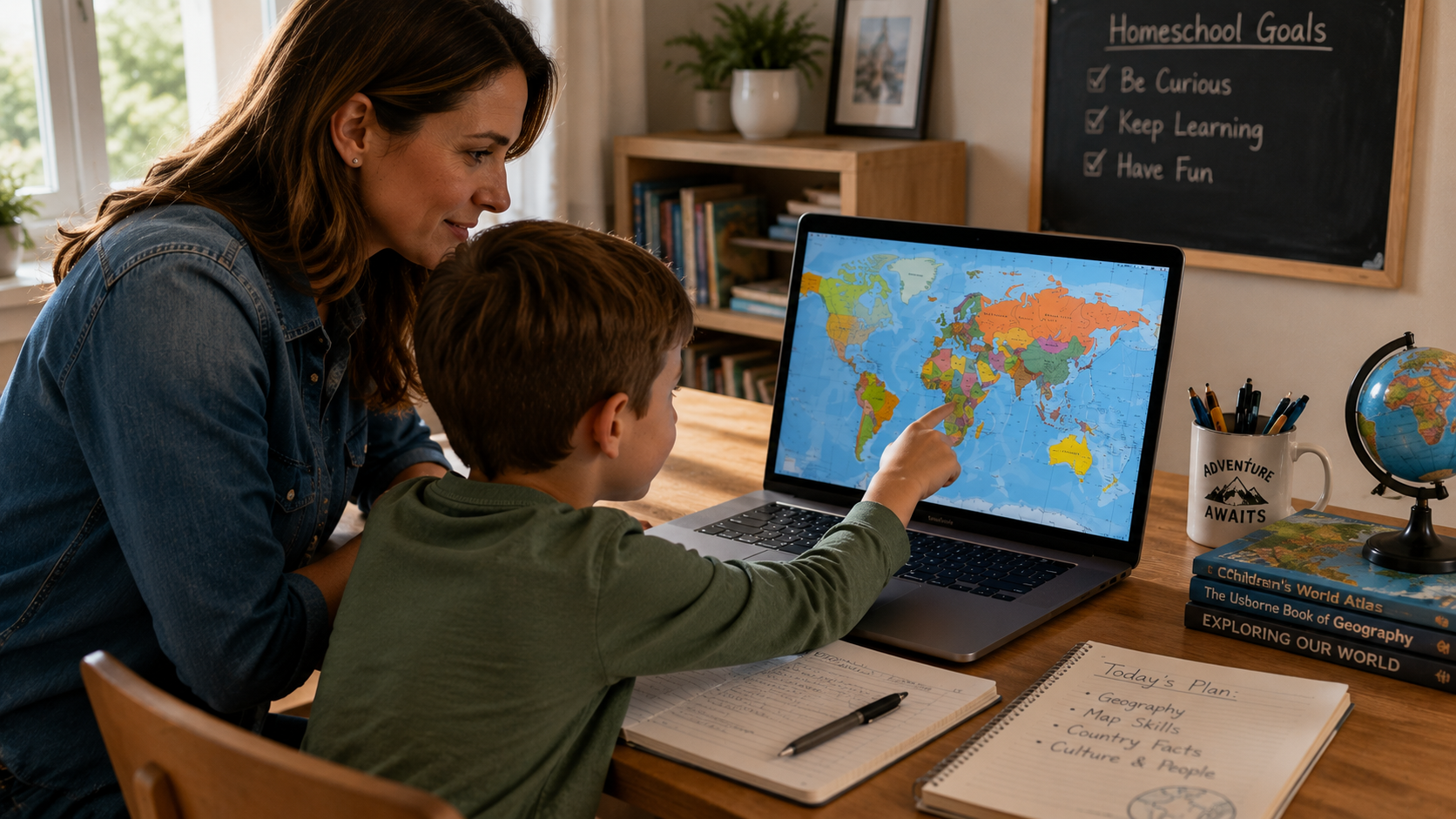
Bringing the World Home: The Ultimate Homeschool Geography Guide
Homeschooling offers the freedom to explore the world at your own pace....
Ready to Build Your Own Map?
No account required. All customization happens right in your browser.
Launch Interactive Tool →